By: Ted Schurter
August 18, 2026
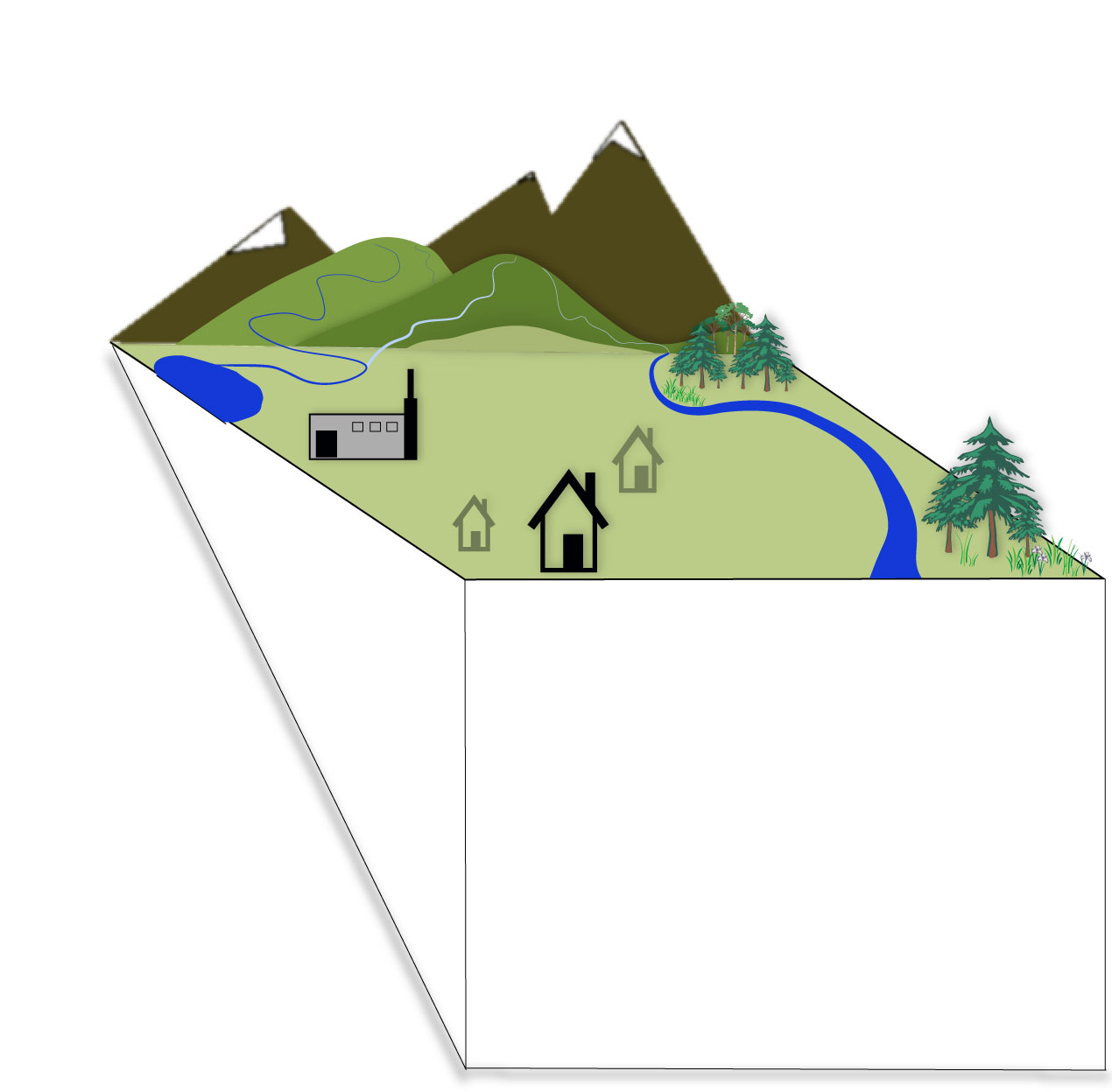
Although it constitutes a small fraction of all freshwater, surface water is the most visible. We see it in lakes, streams, swamps and marshes. It flows down streets and collects in puddles.
When precipitation falls over land, it becomes a source of surface water. It replenishes the lakes and streams. The water that doesn’t evaporate, isn't taken up by plants or used by other life is absorbed into the surface.
The surface layer into which it seeps is the unsaturated zone, sometimes called the zone of aeration. It contains cracks and crevices, plant roots, pockets of air, rocks, sand and soil.
Though water can be found in, and sometimes completely permeate, this zone, it's not regularly saturated with water.
Some of this water migrates down to the saturated zone where water fills all the available spaces and there are no more pockets of air.
The boundary between the saturated and unsaturated zones is known as the water table. Its depth below the surface varies based on an area's physical geology.
Its depth also fluctuates as precipitation levels vary.
Water below the water table is known as groundwater. It is the world's second largest source of freshwater.
Although any collection of underground material sufficiently saturated with water is an aquifer, the term most often describes collections with enough water to be reliably withdrawn in large amounts.
An aquifer can be confined — bound by layers of less-permeable material — or unconfined.
They can also be consolidated — comprised of materials compressed together by weight and time — or unconsolidated — consisting of looser, less compacted materials like sand and gravel.
Unconfined aquifers located directly under the water table are sometimes called water table aquifers.
Humans pump groundwater up from aquifers for agricultural, industrial and personal use.
Though residents in developed areas can utilize water withdrawn and distributed at scale by municipalities, rural residents often withdraw their own water with personal wells.
These withdrawals can come from consolidated or unconsolidated aquifers.
Even without human-induced water withdrawals, ground water is continually moving up, down or laterally during its journey from areas of recharge to areas of discharge, or from one aquifer into another.
Groundwater's movement through an aquifer is affected by the aquifer's porosity and permeability.
These characteristics describe the size and amount of void spaces in an aquifer, and the ability of water to move through it.
Some aquifers give groundwater to or receive surface water from surface water sources that they are hydraulically connected to.
When water infiltrates from a streambed into an underlying aquifer, it's considered a losing stream. The surface water lost from the stream helps recharge the aquifer.
Conversely, if an aquifer discharges water to a stream, it's considered a gaining stream. A river or stream can gain water in one location and lose it in another.
An aquifer's contribution to a surface water source is known as baseflow. It can represent a significant portion of a stream's flow and helps explain why some surface water sources persist through times of low precipitation.
Precipitation levels, the height of the water table, and other factors can influence the give and take relationship between a surface water source and any connected aquifers.
Water's movement isn't limited to the surface or subsurface, it also moves up into the atmosphere through evapotranspiration.
This includes all the water that evaporates from water bodies and the soil surface into the atmosphere and also transpiration, the process by which some of the water collected by the roots of a plant is used and eventually released into the surrounding environment as water vapor.
The moisture from evapotranspiration gathers into clouds that transport moisture around the world.
When enough moisture condenses that the air can no longer hold it, it falls as precipitation, continuing the hydrologic cycle.